CAMPUS NOTE 07 · GUILIN / 2020—2024
Learning to reada landscape.
Four undergraduate years in Guilin, followed through field classes that moved from Yanshan into mountains, reservoirs, mines, and restoration works. The surviving photographs are concentrated in 2022 and 2023.
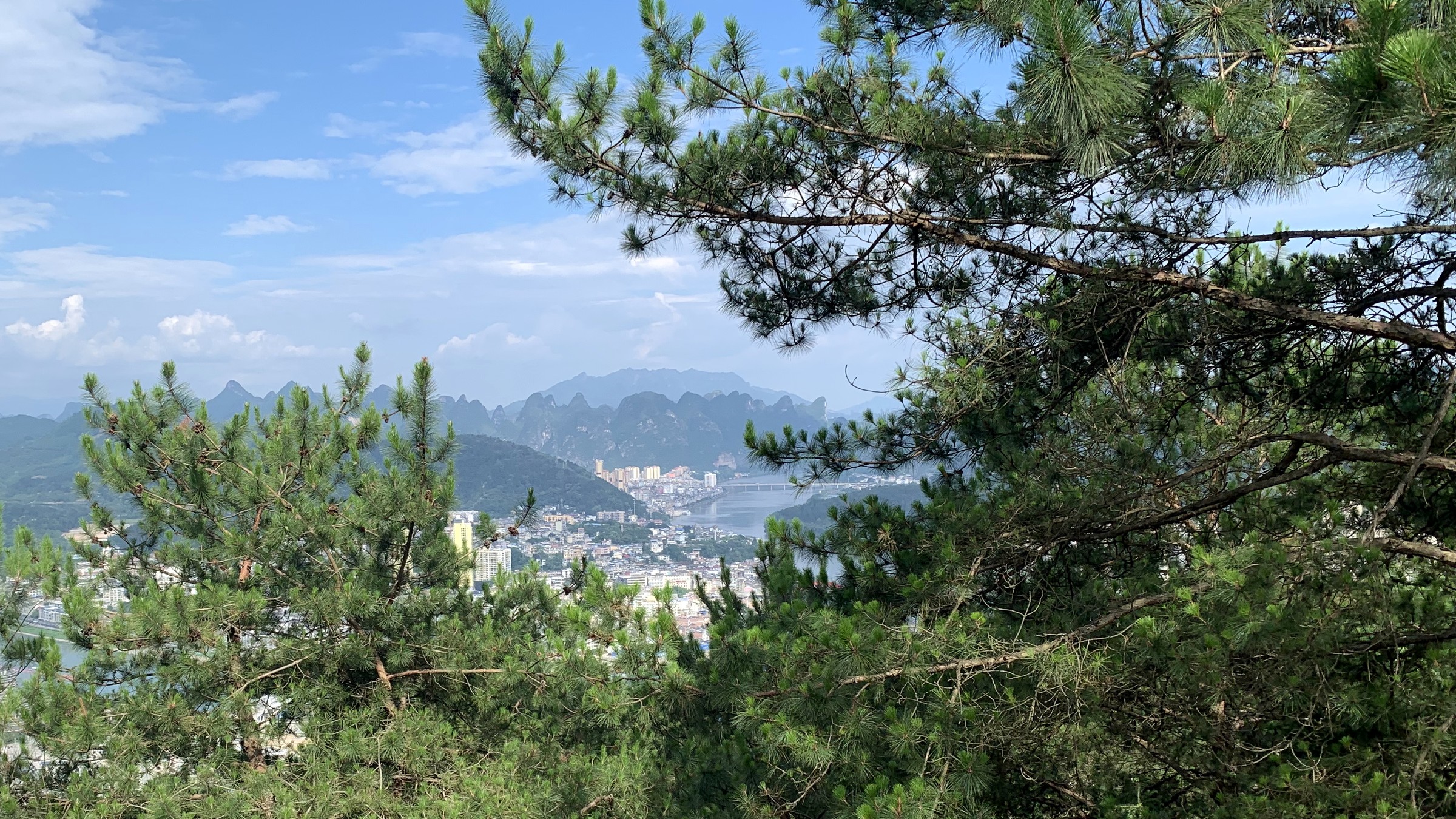
Guilin area · Jun 10, 2023 · Photograph by Lin · Cropped and lightly color-corrected
My four undergraduate years were not preserved evenly in photographs. Almost nothing remains from 2020 or 2021, and this album contains no graduation image to provide a convenient ending.
What survives begins mostly in the autumn of 2022: fragments of Yanshan Campus and a sequence of field classes beyond it. This account follows only what can be checked against timestamps, signs, and university records. It does not fill the gaps.
01
Four years, unevenly remembered
I began undergraduate study at Guilin University of Technology in the autumn of 2020 and finished in the summer of 2024. The archive becomes continuous only in 2022. It is not a diary arranged by semester, and it does not preserve a representative image for every stage.
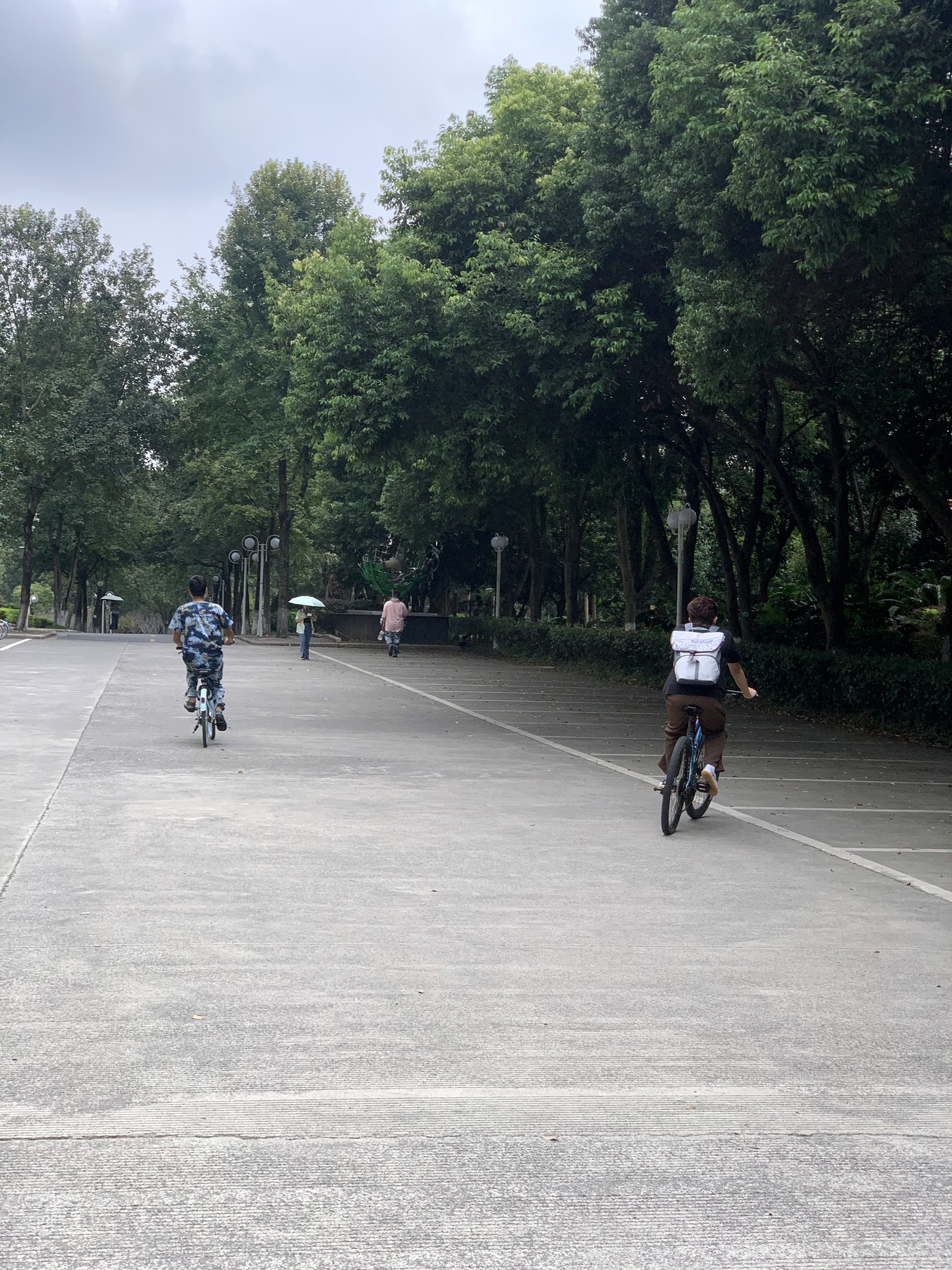
Yanshan Campus appears as the ground note: teaching buildings, the main axis, trees, bicycles, and karst peaks at the edge of the frame. Most of the photographs worth keeping were made after a class had left campus.
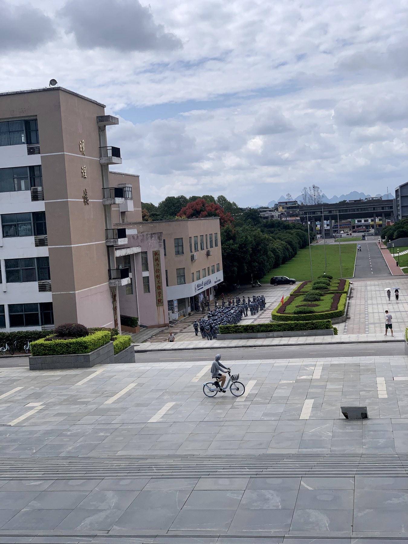
Yanshan was not one stop on the route. It was where every field class began and returned.
02
Tianhu: taking a mountain apart into questions
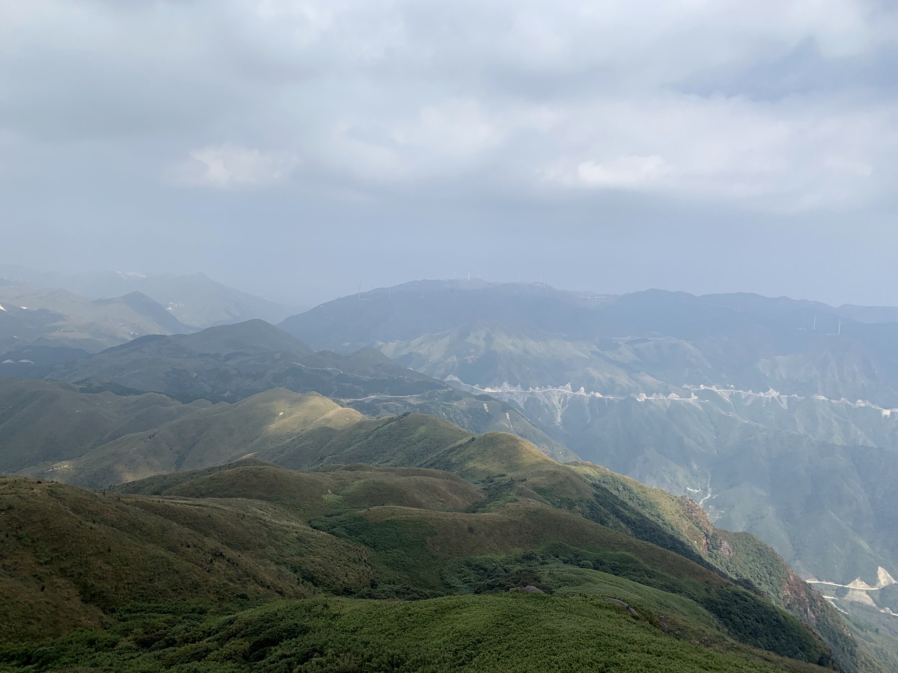
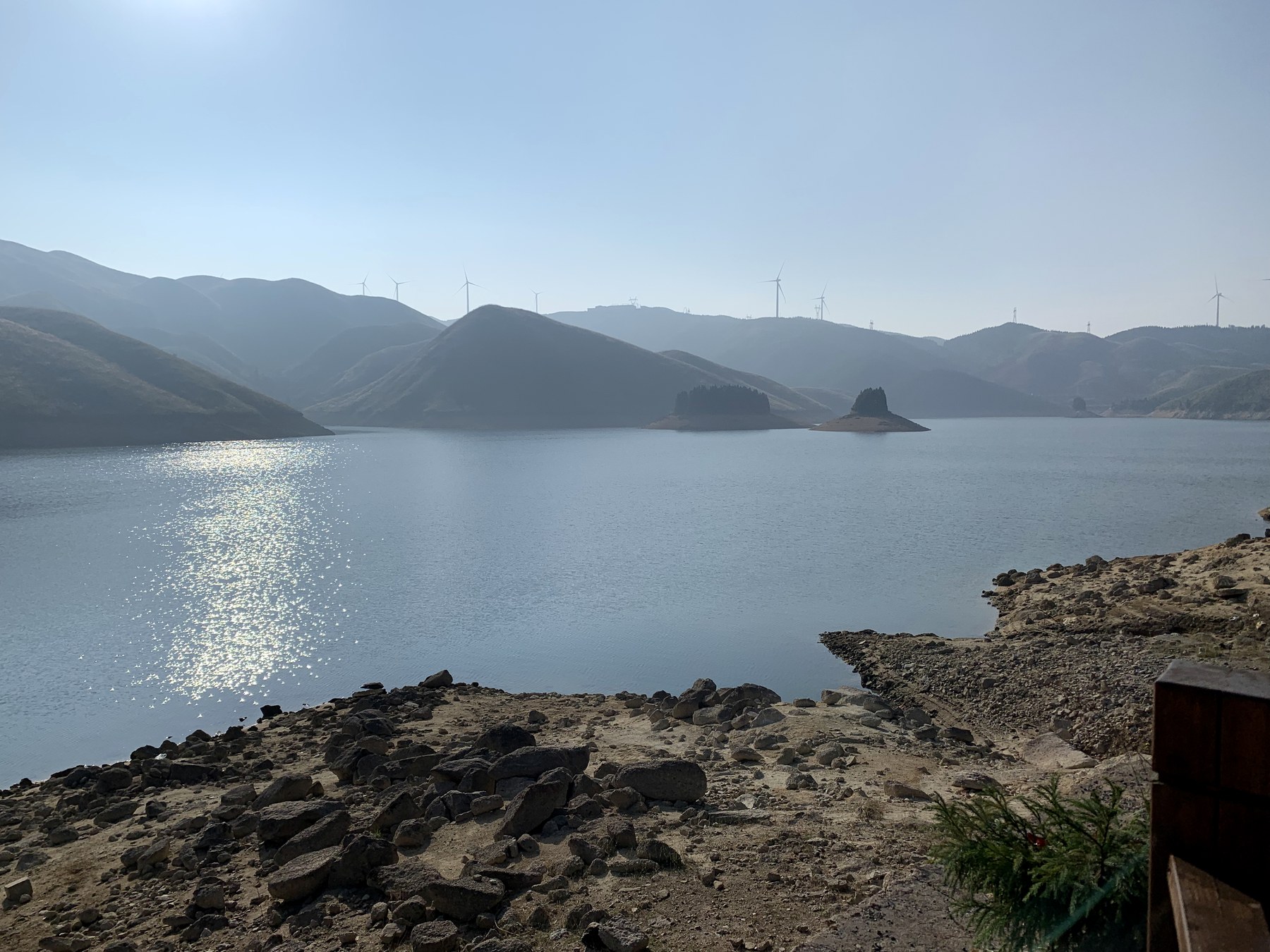
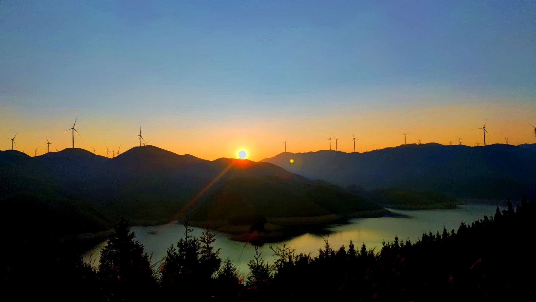
From September 26 to 28, 2022, our cohort in Physical Geography and Resource Environment traveled to Tianhu in Quanzhou for a comprehensive field course. The college record lists granite outcrops, soil profiles, alpine meadow, Zhenbaoding Reservoir, Tianhu Dam, the northern Guangxi canyon, wind turbines, and mountain roads.
The photographs are less systematic. They preserve scale and weather: ridges receding under cloud, water held inside folded terrain, and turbines following the skyline. Rock, soil, vegetation, climate, water, and infrastructure occupied the same field of view.
03
How water moves across a landscape
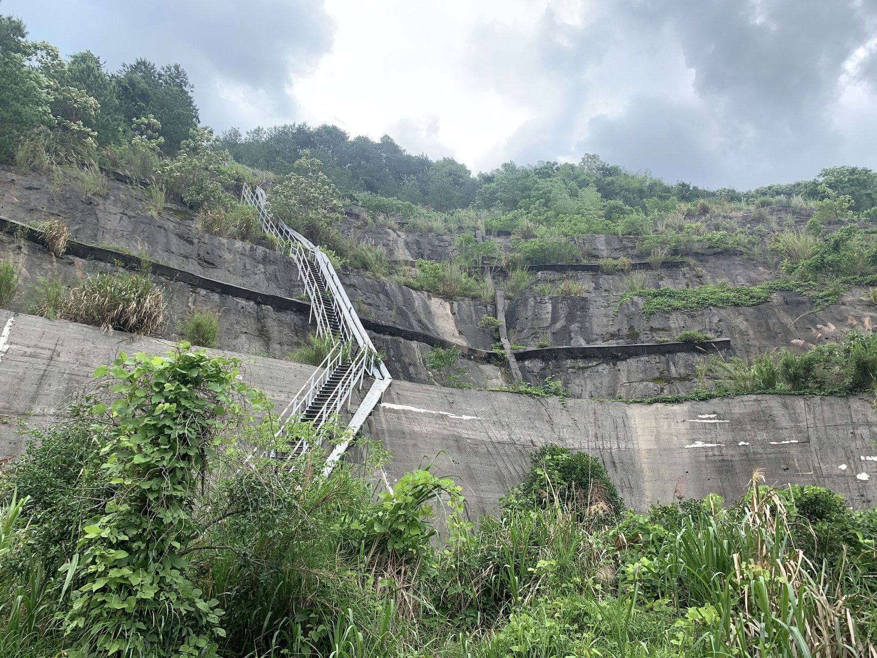
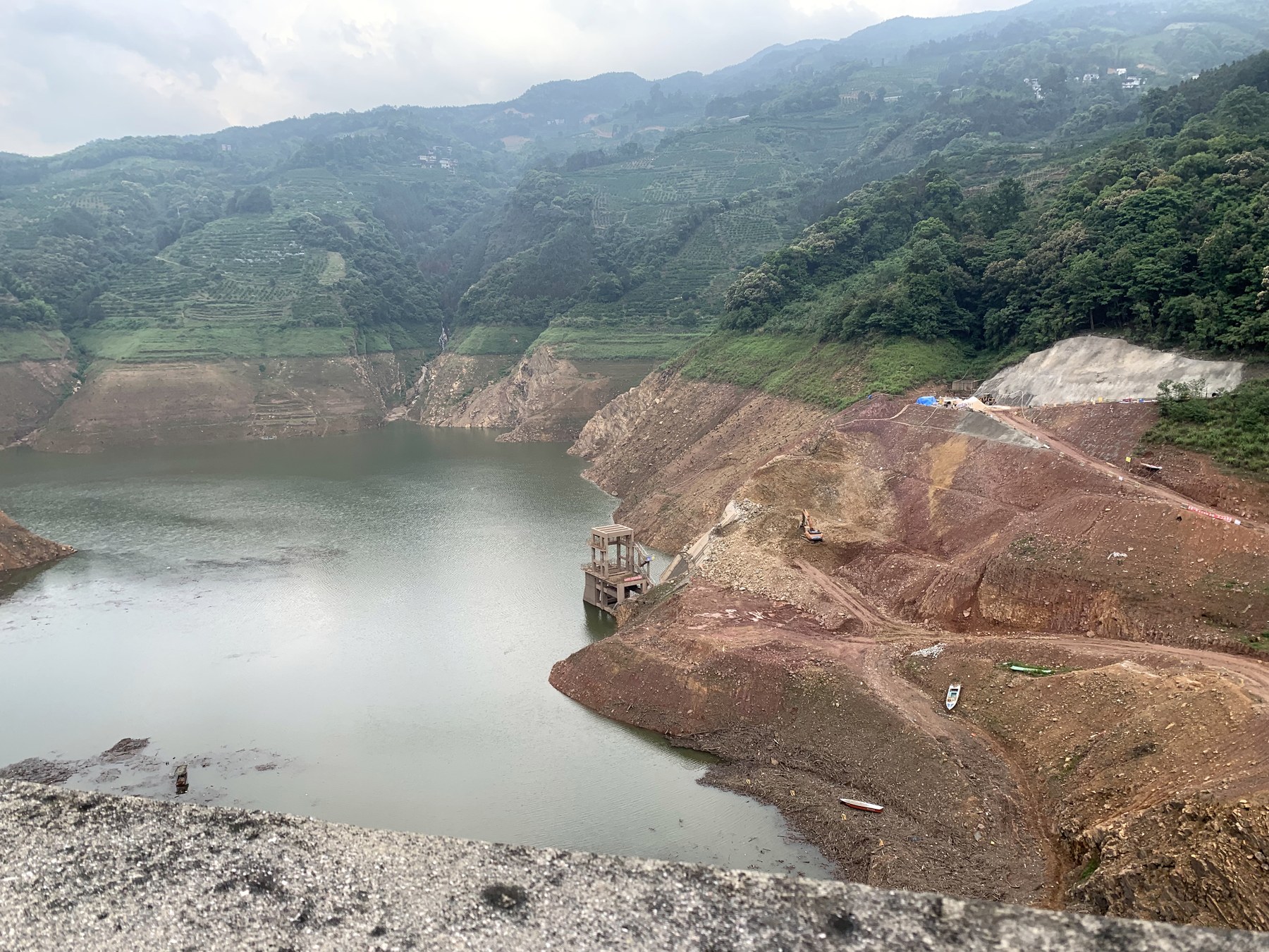
A continuous group from May 21, 2023 moves from cliffs, drainage structures, and grassed slopes to a storage basin, exposed banks, and a tunnel. The archive does not retain the official course title, so I have not assigned one.
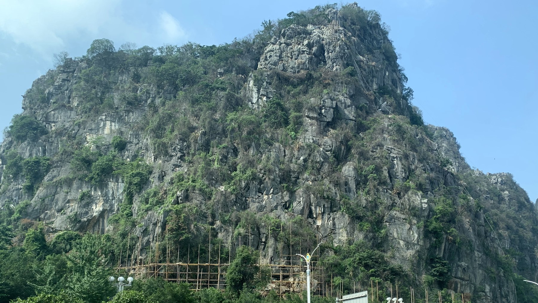
The visible relationships are enough: runoff gathers on a slope, drainage changes its route, exposed rock requires protection, and a low point holds upstream water. Subjects listed separately in a curriculum—soil and water conservation, land consolidation, geological-environment assessment—met in a single site.
04
Leigongling: a mine as local history
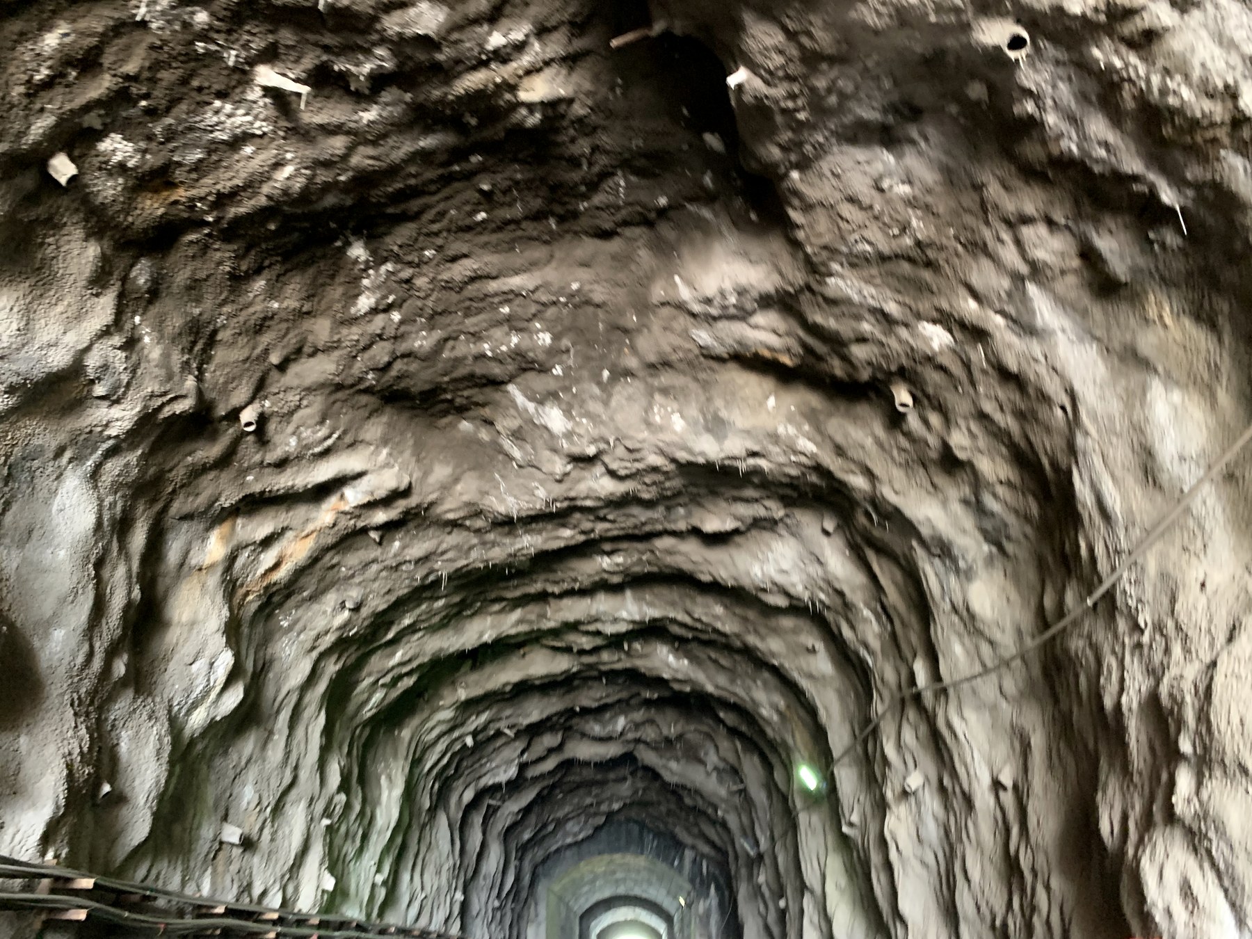
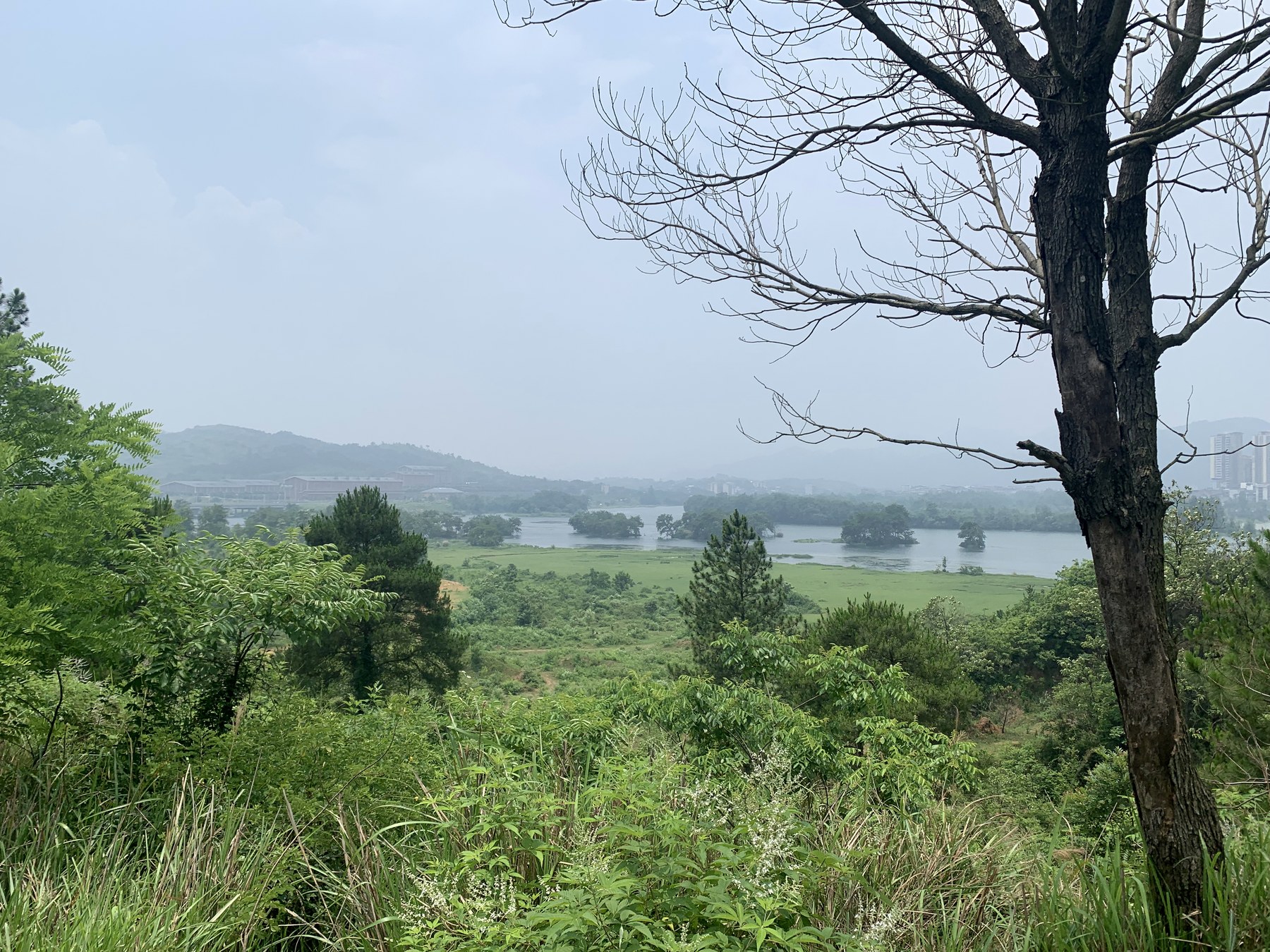
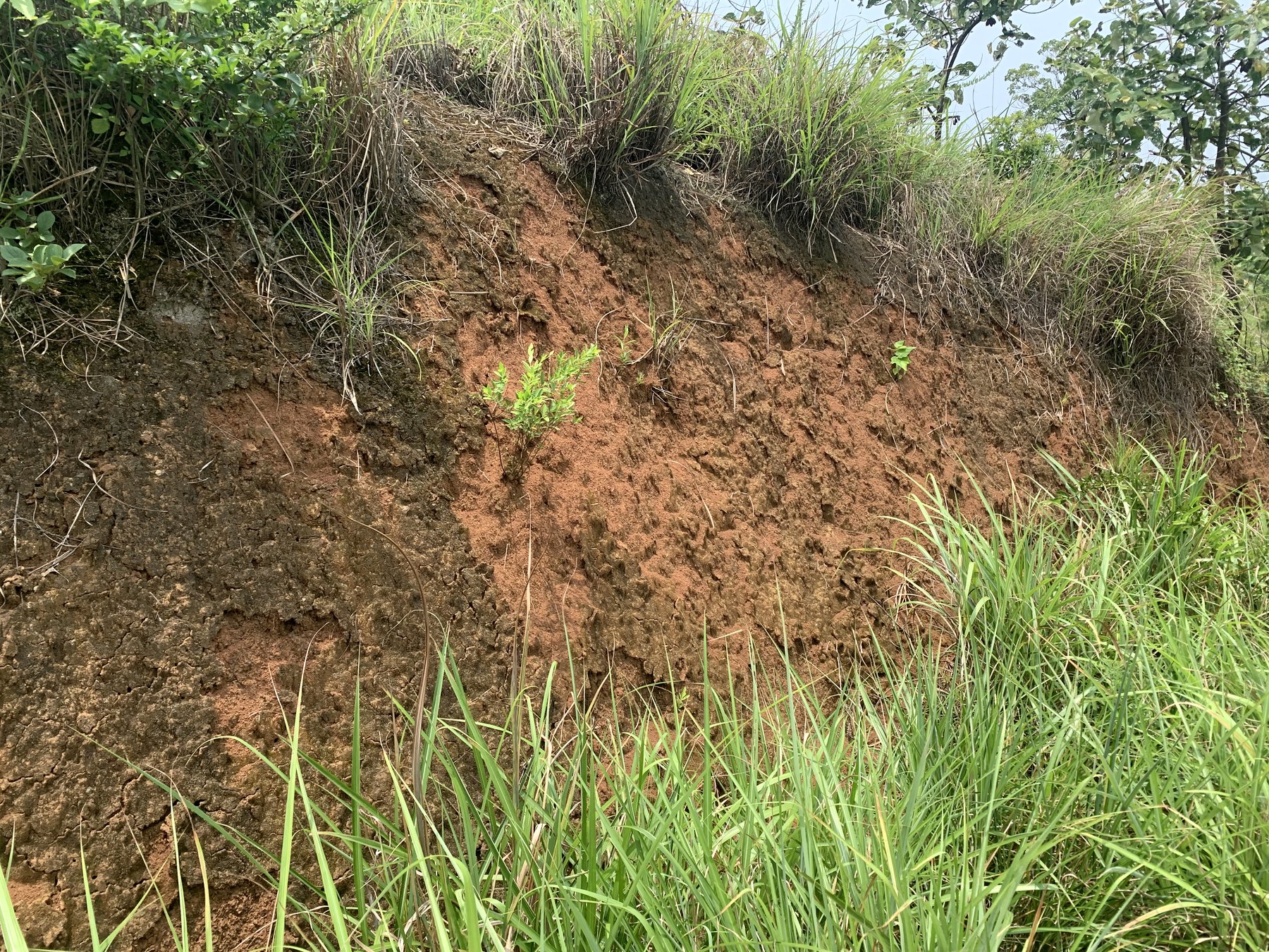
On June 5, signs identify the site as Guangxi Quanzhou Leigongling National Mine Park. Its displays connect manganese formation, former mine workings, the Guanjang canal, revegetation, and local production history within one landscape.
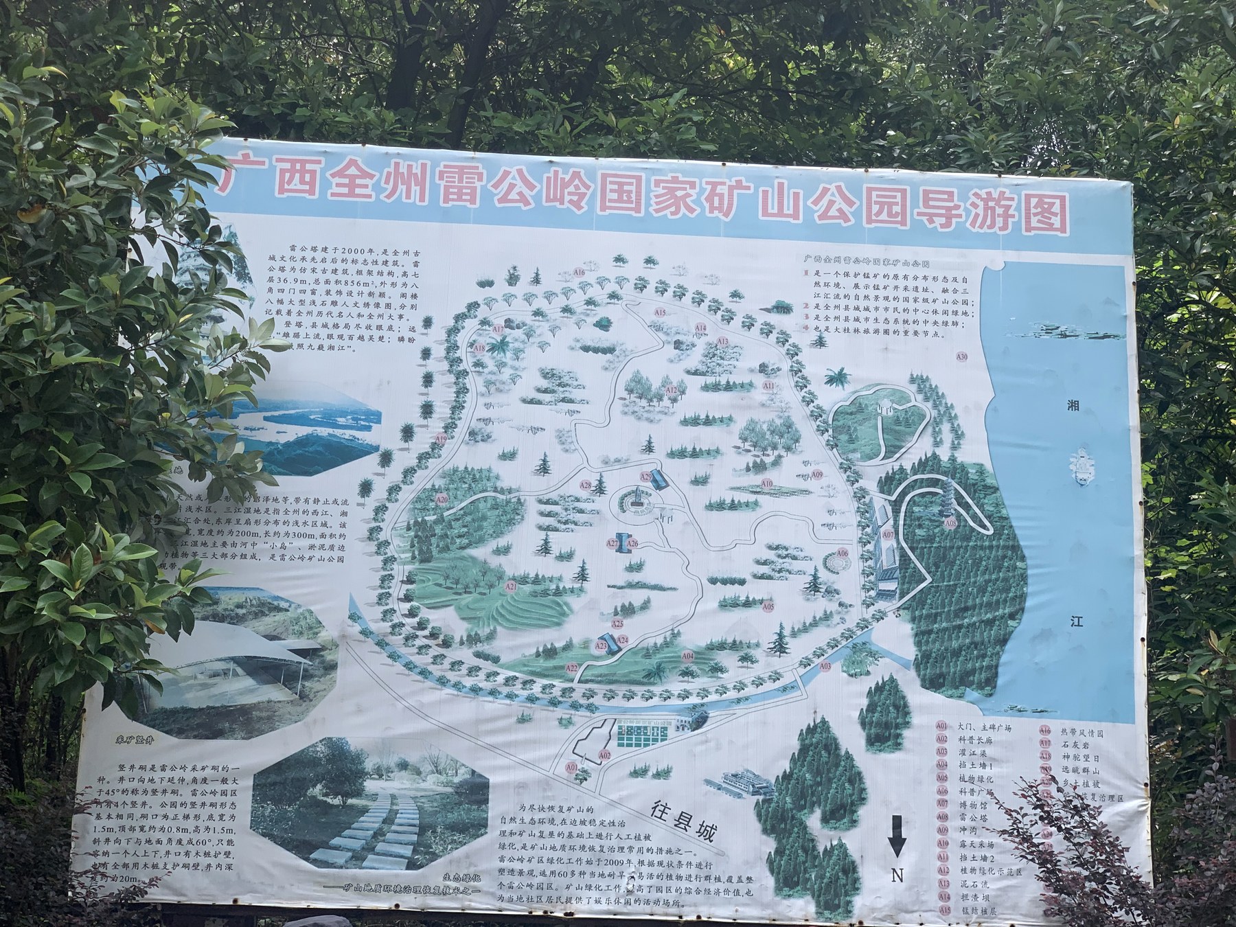
The important point was not to transcribe every information board. It was to place geological and human processes on the same line: how an ore formed, how it was extracted, how water systems entered the terrain, and what remained when extraction stopped.
05
From exposed rock to the work of repair
Photographs from June 6 and 8 enter a quarry or open pit whose formal name cannot be recovered from the archive. Exposed faces, bedding, and standing water made structure legible while enlarging the cut left by extraction.
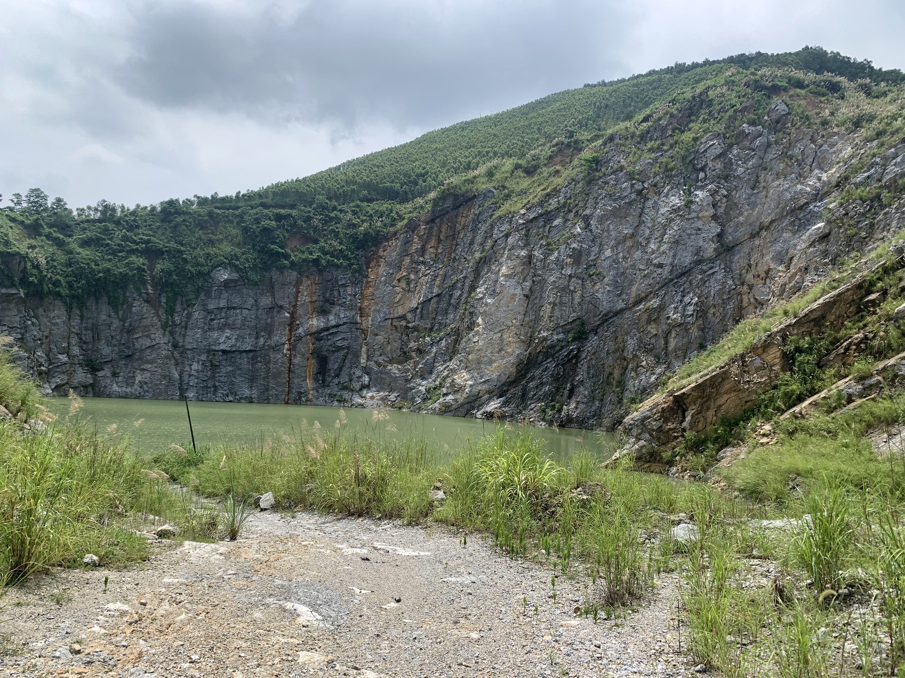
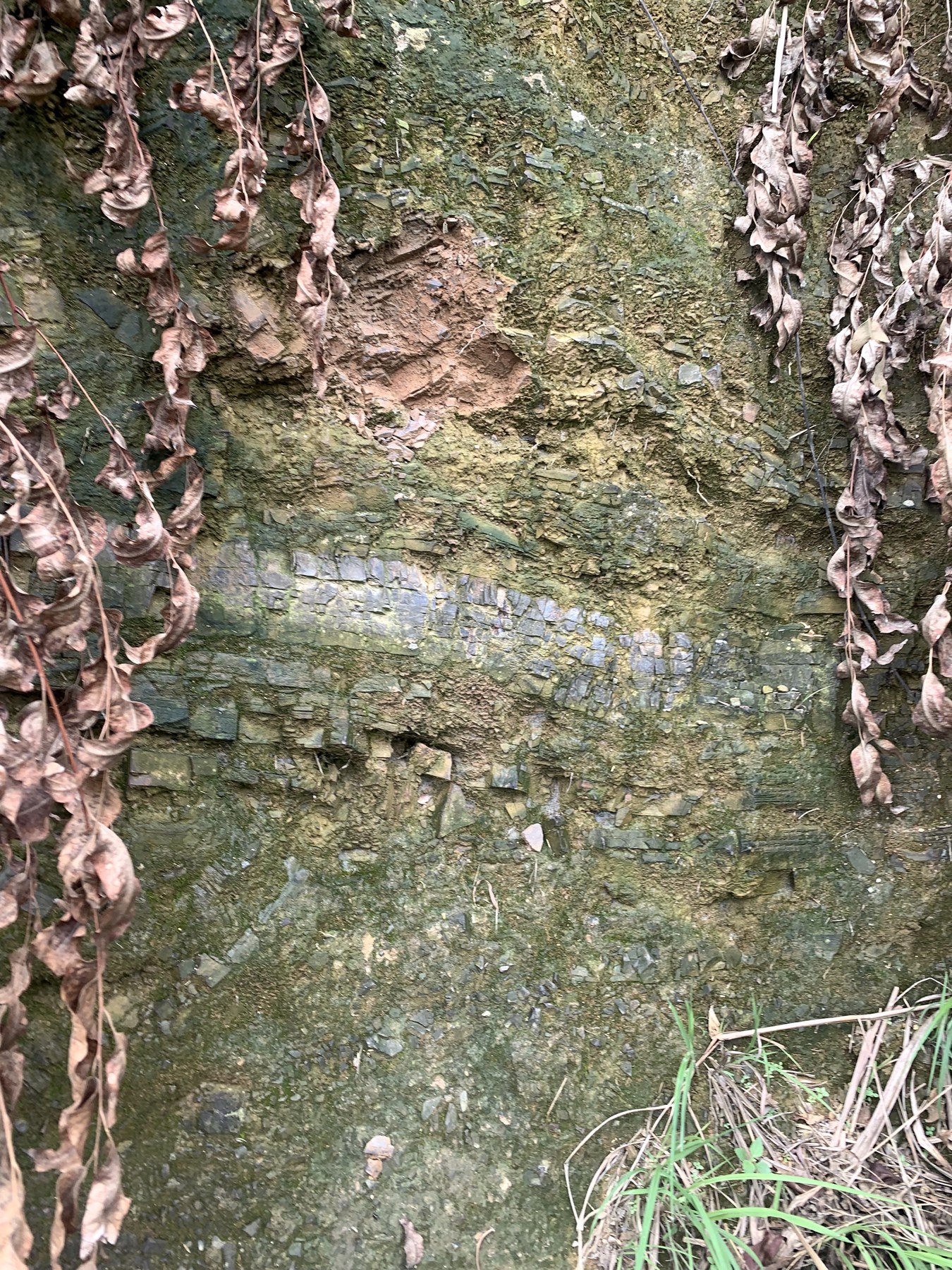
The same mountain can be read as a stratigraphic section, an extraction scar, and a restoration problem.
On June 14, the route reached the Tieshan area of Qixing District's abandoned-mine restoration project. The completion sign turns a slope that already appears green back into a specific method: unstable-rock removal, protective mesh, planting platforms and bags, soil cover, seeding, and a water-supply system.
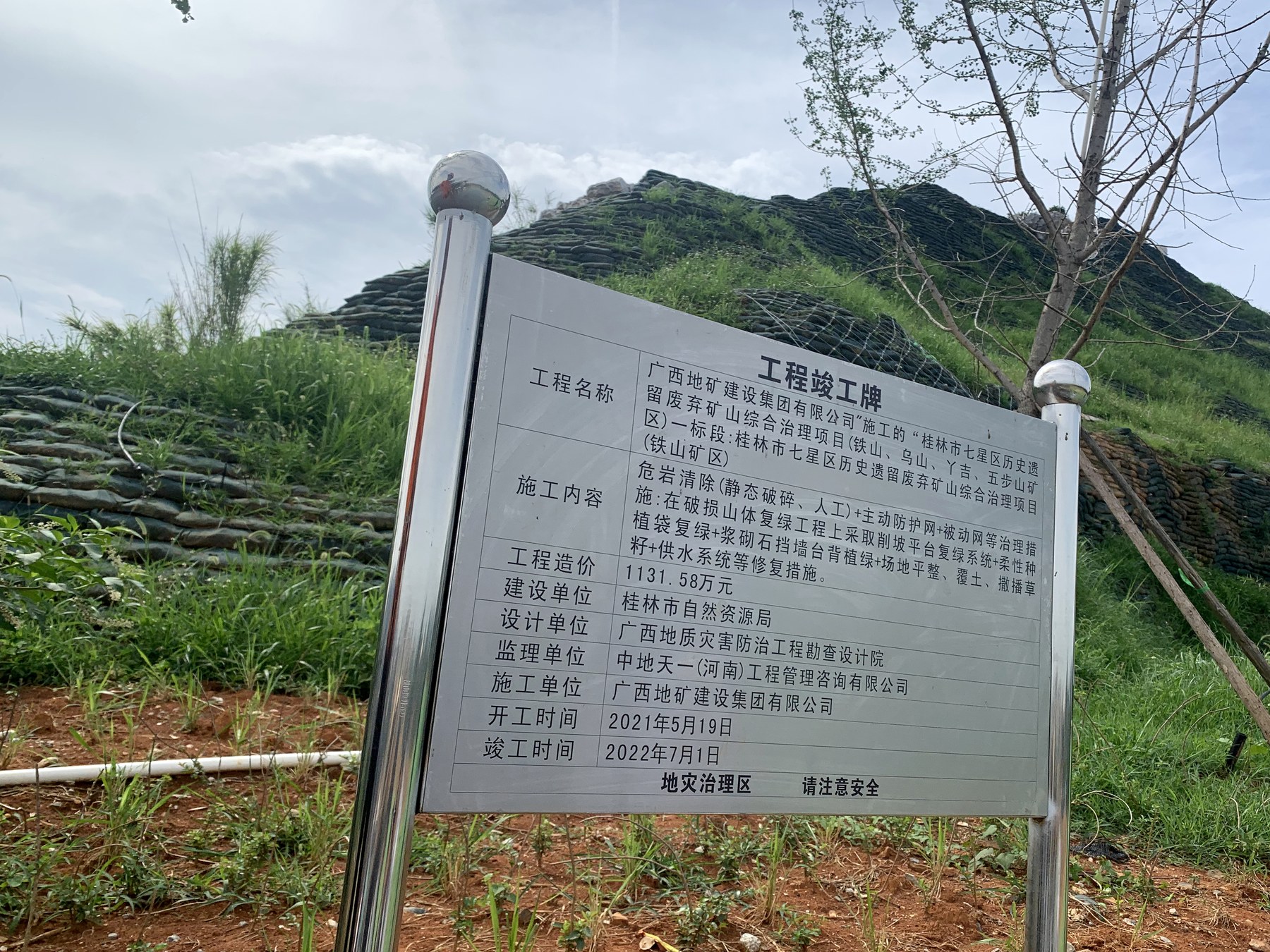
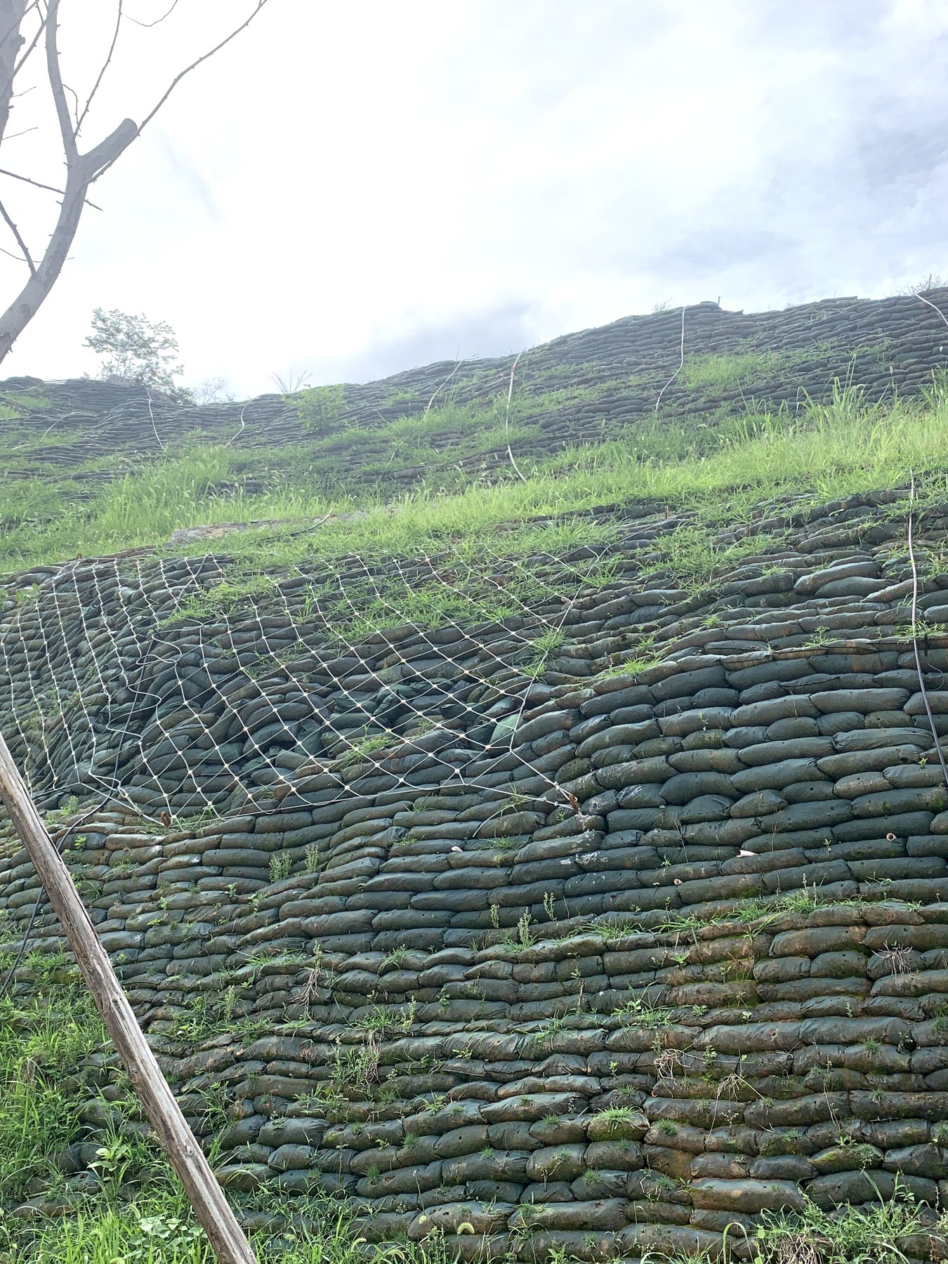
Restoration is not painting a slope green. It reorganizes risk, soil, water, and time.
06
Autumn field notes without a final answer
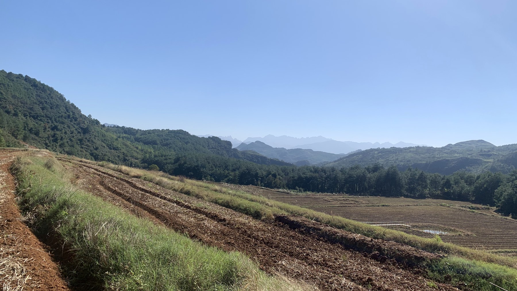
Location records from November 2023 point toward the Guanyang area. The images preserve farmland, hills, and road cuts, but not enough evidence to name the course or village. The method remains familiar: begin with terrain, then ask how land is being used; record the section before deciding what human activity has changed.
07
Before leaving Guilin
The archive offers no neat ending in 2024: no graduation photograph and no final departure through the gate. The dates are clear—undergraduate study lasted from autumn 2020 to summer 2024—but the photographic record stops earlier.
What remains is not a complete route, but a method for reading a place.
What stayed with me was not one particular mountain or road, but a set of questions I still use: where water comes from, how soil takes shape, why a slope is left exposed, and what it takes for vegetation to return. The four years were not fully photographed, but those questions traveled with me when I left Guilin.